Showcase
- NZILA Award of Excellence Master Planning and Urban Design Strategy — 2026
Nomination statement
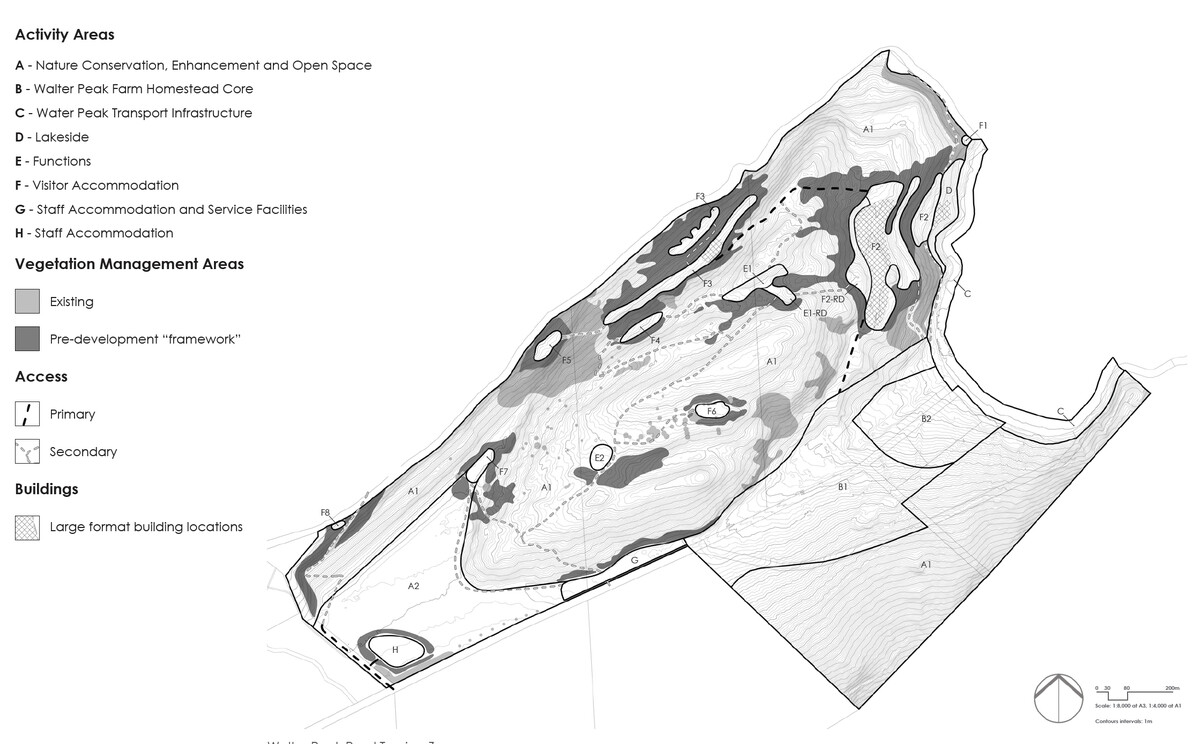
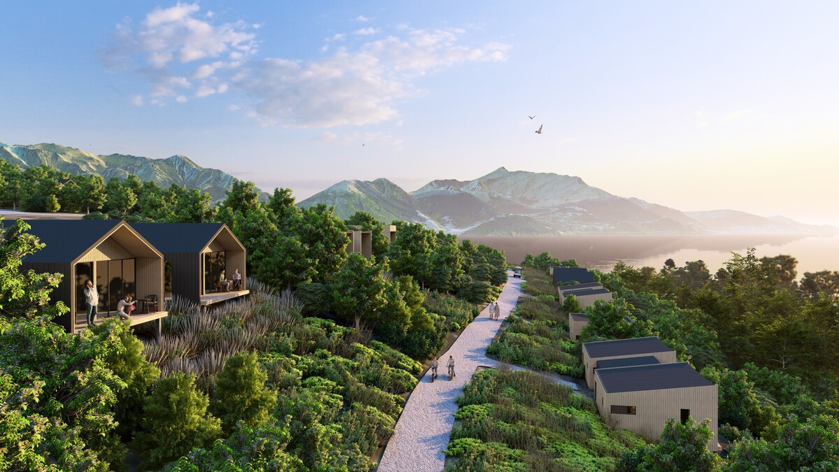
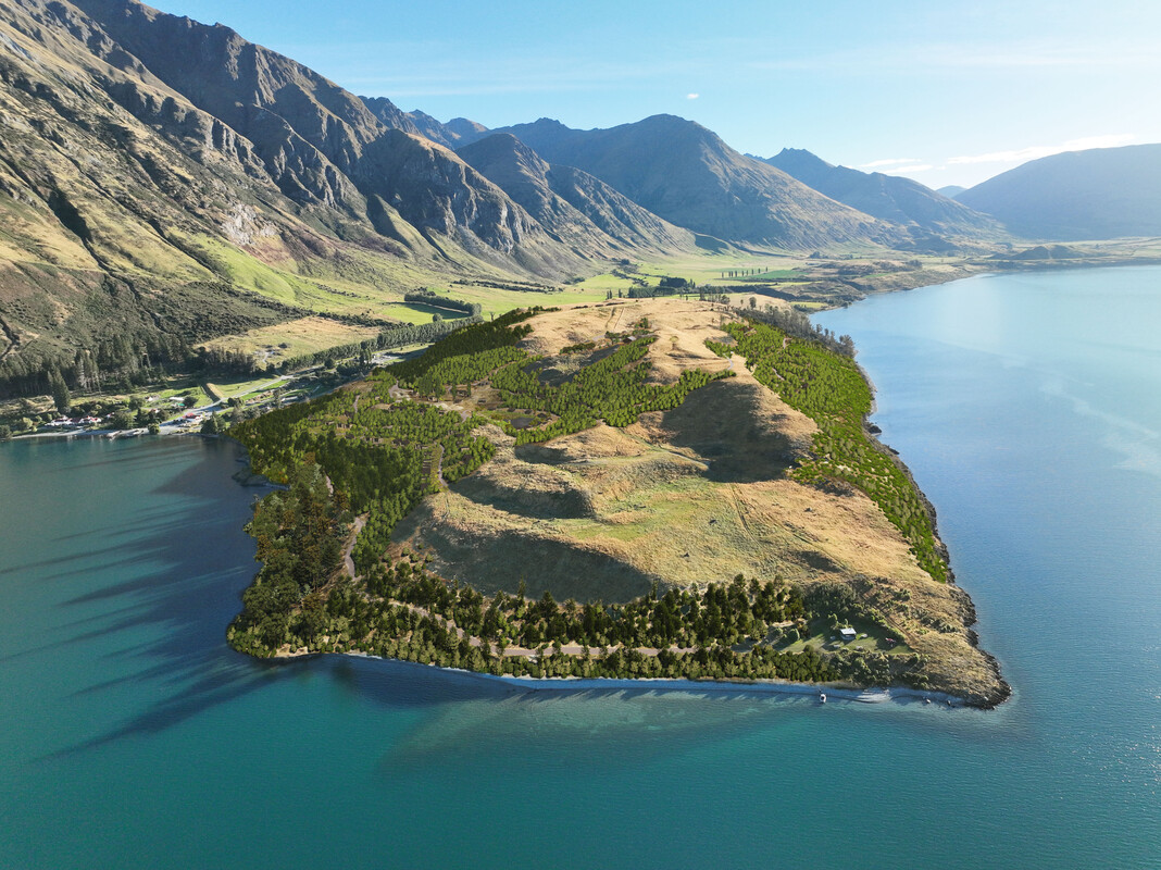
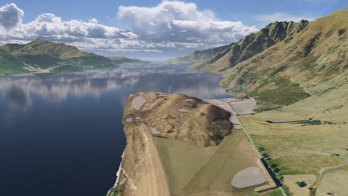
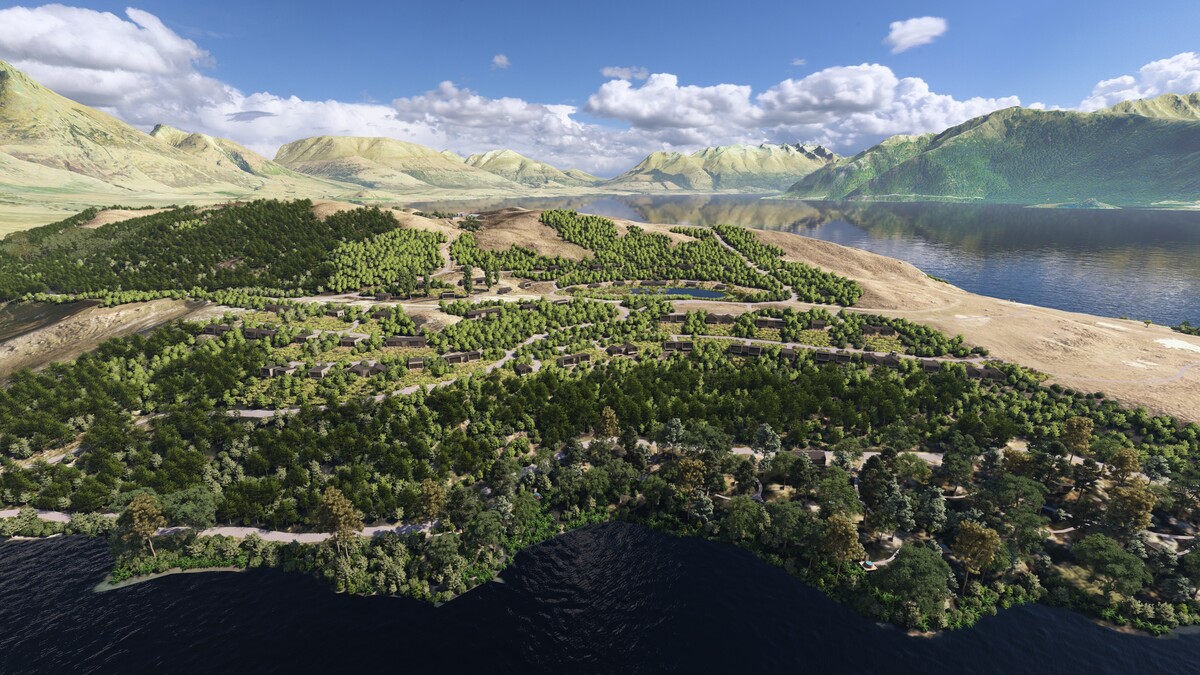
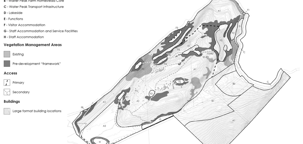
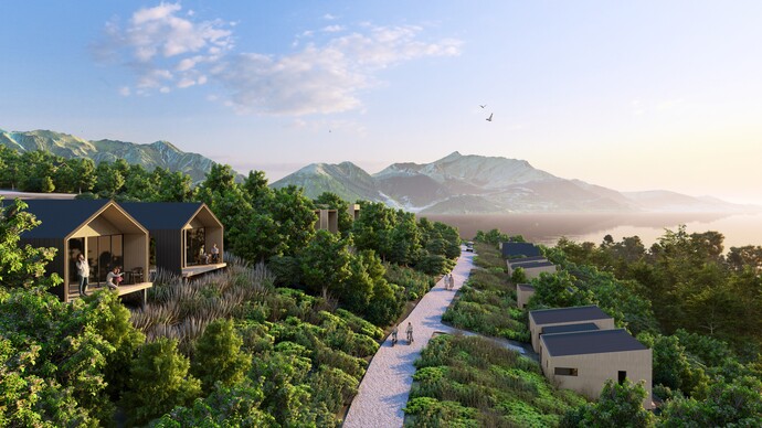
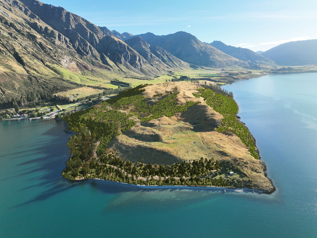
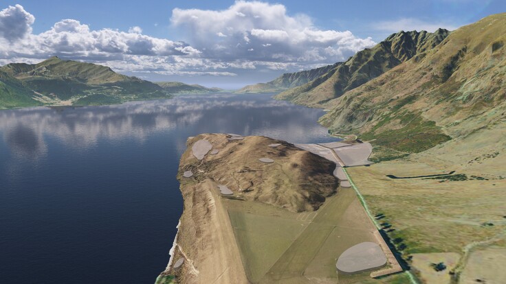
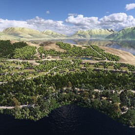
The Walter Peak Rural Tourism Zone is a landscape-led spatial strategy and strategic planning framework guiding the long-term evolution of Walter Peak High Country Farm on the southern shores of Whakatipu Waimāori. Developed over six years, the project was approved by the Environment Court through Consent Order in March 2026 and is now established as Chapter 50, a bespoke landscape-responsive Special Zone within the Queenstown Lakes District Plan. Led by Patch, the project addressed the challenge of enabling future visitor growth while protecting and enhancing the physical, perceptual, and associative values of one of Aotearoa New Zealand’s most iconic landscapes. Through rigorous landscape analysis, cultural engagement, visibility testing, consultation and iterative spatial design, the proposal aligned development with the site’s landforms, ecological systems, landscape capacity, and layered cultural narratives. The resulting Structure Plan and planning provisions carefully concentrate development within selected pockets while retaining most of the site as open space. The framework responds to the cultural narratives of Whakatipu Waimāori, recognising the long-standing relationship between Kāi Tahu and the whenua through the restoration of indigenous landscape patterns and opportunities for slower and more immersive engagement with place. More than 26 hectares of indigenous revegetation are embedded within the framework through an innovative performance-based Vegetation Management Area (VMA) system linking development rights to long-term sustainability outcomes. The project demonstrates how landscape architecture can actively shape enduring strategic and statutory outcomes, providing a progressive model for integrating tourism growth, ecological restoration, cultural values, and long-term landscape stewardship within highly sensitive landscapes.
Judges' citation
The Walter Peak Rural Tourism Zone is a site-specific, landscape-responsive planning framework that demonstrates how sound landscape architecture can shape strategic and statutory outcomes. Developed over six years and now embedded within the Queenstown Lakes District Plan, this genuinely landscape-led project draws on a deep understanding of site suitability to balance tourism growth, ecological restoration, cultural values and long-term stewardship within one of Aotearoa New Zealand's most sensitive Outstanding Natural Landscapes.
Disciplined landscape analysis, strategic planning and design guide the careful integration of future development within this setting and the enhancement of landscape values. The relationship of Kāi Tahu with Whakatipu Waimāori meaningfully informs the project's narrative and direction, underpinning restoration and visitor experience outcomes.
The result is a progressive model that successfully balances complex tensions while delivering strong ecological, cultural, and landscape outcomes at both strategic and site-specific scales.
Patch Ltd
Client: RealNZ
All images